Table of Contents
ToggleFundamentals of Drainage
Before diving into specific rivers, one must understand the terminology used in UPSC Geography:
- Drainage Basin: The specific area from which a river and its tributaries collect water. The Ganga Basin is the largest in India.
- Watershed: The boundary line or “divide” that separates one drainage basin from another (e.g., the Delhi Ridge separates the Indus and Ganga systems).
- Catchment Area: The actual geographic region where rainfall is collected by the river.
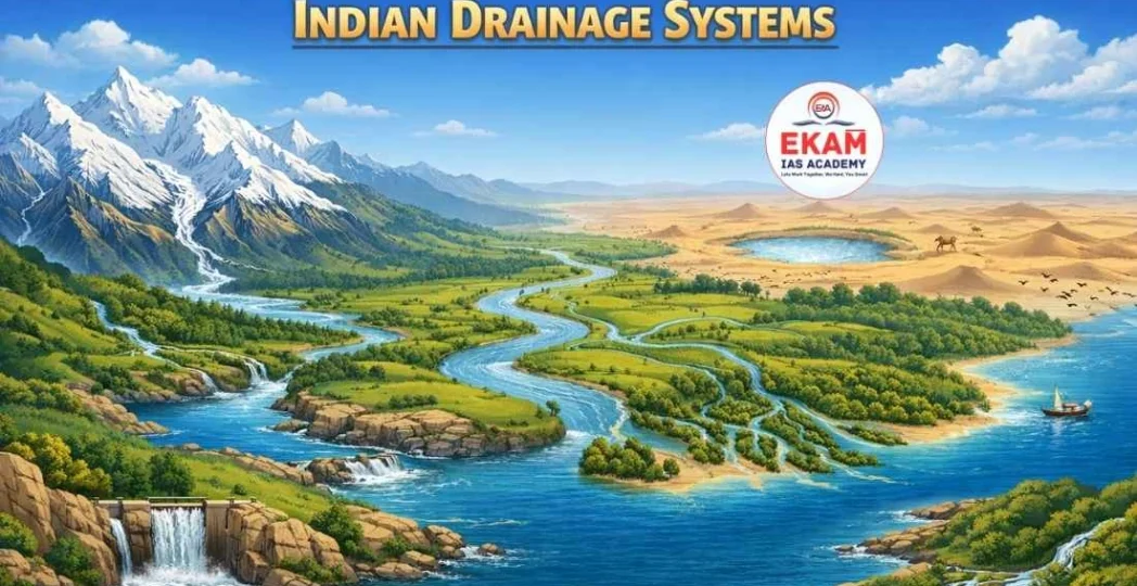
Classification of Indian Drainage Systems
The Indian drainage can be classified based on two major parameters:
A. On the Basis of Discharge (Orientation to Sea)
- Bay of Bengal Drainage: Approx. 77% of India’s drainage (Ganga, Brahmaputra, Mahanadi, Godavari, Krishna, Kaveri).
- Arabian Sea Drainage: Approx. 23% of the drainage (Indus, Narmada, Tapi, Mahi, Periyar).
- Inland Drainage: Rivers that do not reach the sea but vanish in the sand or flow into lakes (e.g., Luni in Rajasthan, Ghaggar in Haryana).
B. On the Basis of Mode of Origin
- Himalayan Drainage System: Perennial rivers fed by glaciers and rain.
- Peninsular Drainage System: Seasonal rivers dependent primarily on the South-West Monsoon.
Drainage Patterns in India
UPSC frequently asks about the morphology of river networks.
- Dendritic Pattern: Resembles tree roots; found in the Indo-Gangetic Plains.
- Radial Pattern: Rivers originate from a central hill and flow in all directions (e.g., Narmada and Son from Amarkantak Range).
- Trellis Pattern: Primary tributaries flow parallel, and secondary tributaries join at right angles (e.g., Indus and Brahmaputra in Himalayan folds).
- Centripetal Pattern: Rivers discharge water from all directions into a lake or depression (e.g., Loktak Lake in Manipur).
The Himalayan Drainage System
The Himalayan rivers are antecedent, meaning they existed before the mountains were uplifted and have cut deep gorges to maintain their paths.
I. The Indus River System (Sindhu)
- Origin: Bokhar Chu Glacier (Kailash Range, Tibet).
- Course: Flows through Ladakh, forms a deep gorge at Gilgit, and enters Pakistan.
- Left Bank Tributaries: Jhelum, Chenab, Ravi, Beas, Sutlej (The Panjnad).
- Right Bank Tributaries: Shyok, Gilgit, Kabul, Gomal.
- Key Fact: The Indus Water Treaty (1960) allocates the Western rivers (Indus, Jhelum, Chenab) to Pakistan and Eastern rivers (Ravi, Beas, Sutlej) to India.
II. The Ganga River System
- Origin: Formed by the confluence of Bhagirathi (Gangotri Glacier) and Alaknanda (Satopanth Glacier) at Devprayag.
- The Panch Prayag (Sequence):
Vishnuprayag: Alaknanda + Dhauliganga
Nandprayag: Alaknanda + Nandakini
Karnaprayag: Alaknanda + Pindar
Rudraprayag: Alaknanda + Mandakini
Devprayag: Alaknanda + Bhagirathi
- Tributaries:
- Left Bank: Ramganga, Gomati, Ghaghara, Gandak, Kosi (Sorrow of Bihar), Mahananda.
- Right Bank: Yamuna (longest tributary), Son, Punpun.
III. The Brahmaputra River System
Origin: Chemayungdung Glacier near Mansarovar (Tibet), where it is called Tsangpo (“The Purifier”).
Entry to India: Enters via Arunachal Pradesh as Dihang or Siang.
Tributaries:
- Left Bank: Dibang, Lohit, Dhansari.
- Right Bank: Subansiri, Kameng, Manas, Teesta.
4. Feature: Creates the Majuli Island (World’s largest riverine island) and forms the Sundarbans Delta with the Ganga.
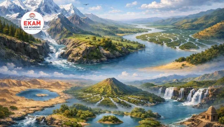
The Peninsular Drainage System
Older than the Himalayas, these rivers have reached a mature stage with broad, shallow valleys.
I. East Flowing Rivers (Bay of Bengal)
- Mahanadi: Rises in Chhattisgarh; known for the Hirakud Dam.
- Godavari (Dakshin Ganga): Largest peninsular river; rises at Trimbakeshwar (Nashik). Tributaries: Pranahita, Indravati, Manjira.
- Krishna: Rises near Mahabaleshwar. Tributaries: Tungabhadra, Bhima, Musi.
- Kaveri: Rises in Brahmagiri Hills (Kodagu). Unique because it receives rain from both the SW and NE Monsoons, making it nearly perennial.
II. West Flowing Rivers (Arabian Sea)
Narmada: Flows through a Rift Valley between Vindhyas and Satpuras. Rises at Amarkantak.
Tapi: Rises in Betul (MP); also flows in a rift valley.
Mahi: Rises in Vindhyas; unique for crossing the Tropic of Cancer twice.
Himalayan vs. Peninsular Rivers: Comparison
| Feature | Himalayan Rivers | Peninsular Rivers |
| Origin | Himalayan Glaciers | Peninsular Plateaus |
| Nature | Perennial (Flow year-round) | Seasonal (Rain-fed) |
| Catchment | Very Large | Relatively Small |
| Age | Geologically Young | Geologically Old |
| Course | Long, meandering, forms Deltas | Short, straight, forms Estuaries (West) |


UPSC Prelims: PYQs & Practice Questions
Previous Year Questions (PYQs)
1. With reference to the river Luni, which one of the following statements is correct? (2010)
Q:
(a) It flows into Gulf of Khambhat.
(b) It flows into Gulf of Kutch.
(c) It flows into Pakistan and merges with a tributary of Indus.
(d) It is lost in the marshy land of the Rann of Kutch.
Answer: (d)
Explanation: Luni is an inland drainage river. It originates in the Pushkar valley of the Aravalli Range and ends in the marshy lands of the Rann of Kutch in Gujarat without reaching the sea.
2. Consider the following rivers: (2021)
Q:
1. Brahamani
2. Nagavali
3. Subarnarekha
4. Vamsadhara
Which of the above rise from the Eastern Ghats?
(a) 1 and 2
(b) 2 and 4
(c) 3 and 4
(d) 1 and 3
Answer: (b) 2 and 4
Explanation: Nagavali and Vamsadhara rise in the Eastern Ghats (Odisha/Andhra region). The Brahamani is formed by the confluence of the Sankh and South Koel rivers (Chhota Nagpur Plateau), and the Subarnarekha also originates from the Chhota Nagpur Plateau.
Practice Questions (Prelims)
Question 1
Q: Consider the following pairs of Panch Prayag and their confluences:
1. Vishnuprayag: Alaknanda + Dhauliganga
2. Karnaprayag: Alaknanda + Pindar
3. Rudraprayag: Alaknanda + Bhagirathi
Which of the pairs given above is/are correctly matched?
(a) 1 and 2 only
(b) 2 and 3 only
(c) 1 and 3 only
(d) 1, 2, and 3
Answer: (a) 1 and 2 only
Explanation: Pairs 1 and 2 are correctly matched. Pair 3 is incorrect because Rudraprayag is the confluence of Alaknanda and Mandakini. The confluence of Alaknanda and Bhagirathi is called Devprayag.
UPSC Mains – Previous Year & Practice Questions
Previous Year Questions (Mains)
Interlinking of Rivers: Droughts, Floods & Navigation (2020)
Question: “The interlinking of rivers can provide viable solutions to the multi-dimensional inter-related problems of droughts, floods, and interrupted navigation. Critically examine.” (2020)
Focus: Evaluate benefits (water transfer, flood moderation, irrigation, navigation) versus concerns (ecology, displacement, costs, inter-state issues).
Mangrove Depletion & Coastal Ecology (2019)
Question: “Discuss the causes of the depletion of mangroves and explain their importance in maintaining coastal ecology.” (2019 - Related to Delta Drainage)
Focus: Causes (aquaculture, encroachment, pollution, altered freshwater inflow) and significance (storm buffer, biodiversity nursery, carbon sink, shoreline stability).
Restoring Mountain Ecosystems amid Development & Tourism (2019)
Question: “How can the mountain ecosystem be restored from the negative impact of development initiatives and tourism?” (2019 - Related to Himalayan Catchment)
Focus: Carrying capacity, eco-sensitive zoning, sustainable tourism, slope stabilization, waste management, afforestation, community-led conservation.
Micro-watershed Projects & Water Conservation (2016)
Question: “In what way micro-watershed development projects help in water conservation in drought-prone and semi-arid regions of India?” (2016)
Focus: Contour bunding, check dams, percolation tanks, soil-moisture retention, groundwater recharge, reduced runoff, community participation.
Himalayan vs Peninsular Rivers: Geomorphic Evolution (General Theme)
Question: “The Himalayan and the Peninsular river systems represent two different stages of geomorphic evolution. Discuss.” (General Theme/Geography Optional)
Focus: Contrast antecedent/superimposed youthful Himalayan rivers with older, graded Peninsular rivers; relate to tectonics, rejuvenation, and drainage patterns.
Mains Practice Questions
Drainage Patterns: North vs South Indian Rivers
Question: “Compare the drainage patterns of North Indian and South Indian rivers. How do geological structures influence these patterns?”
National River Conservation Plan and Water Quality
Question: “Evaluate the significance of the National River Conservation Plan (NRCP) in improving the water quality of major Indian rivers.”
Why West-flowing Peninsular Rivers Form Estuaries
Question: “Explain why West-flowing Peninsular rivers do not form deltas but instead form estuaries.”
Indian Drainage System Demystified- FAQs
What is an Antecedent Drainage system?
It is a system where the river is older than the surrounding landscape (mountains). The river maintains its original course by cutting through the rising mountains. Indus, Brahmaputra, and Sutlej are classic examples.
Why is the Godavari called 'Dakshin Ganga'?
It is the largest river system in the Peninsular region, much like the Ganga in the North. Due to its large size, catchment area, and cultural significance in the south, it is called Dakshin Ganga or Vriddha Ganga.
What is the 'Sorrow of Bihar' and why?
The Kosi River is known as the Sorrow of Bihar. It is notorious for frequently changing its course and causing massive floods due to the heavy silt it carries from the Himalayas, which chokes its own channel.
Which Indian river crosses the Tropic of Cancer twice?
The Mahi River. It originates in Madhya Pradesh, flows into Rajasthan, and then enters Gujarat to flow into the Arabian Sea.
What is the difference between a River Basin and a Watershed?
A River Basin is the total area drained by a large river and its tributaries (macro-level). A Watershed is a smaller drainage area of a single stream or a small tributary (micro-level).