Table of Contents
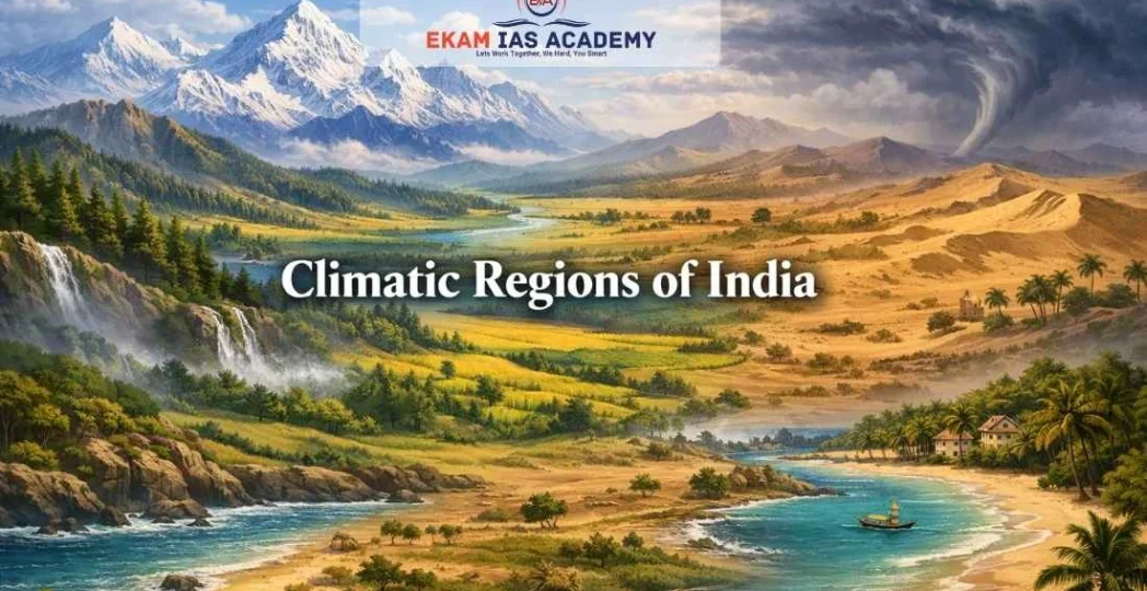
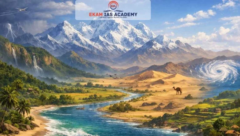
ToggleThe climate of India is a complex tapestry woven from diverse geographical factors, ranging from the towering Himalayas in the north to the vast Indian Ocean in the south. Understanding India’s climatic regions is crucial for the UPSC Civil Services Examination, as it forms the bedrock of Physical Geography, impacting agriculture, biodiversity, and disaster management.
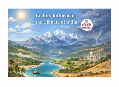
Factors Determining India’s Climate
India’s climate is primarily characterized as a Tropical Monsoon type. However, its vast latitudinal extent and varied relief features create significant regional variations.
A. Location and Relief
- Latitude: The Tropic of Cancer passes through the central part of India. Consequently, the southern half lies in the Tropical Zone, while the northern part is in the Sub-tropical or Warm Temperate Zone. This results in high annual temperatures in the south and greater seasonal variations in the north.
- The Himalayan Ranges: These mountains act as a climatic divide, shielding the subcontinent from the cold, dry winds of Central Asia. They also trap the Southwest Monsoon winds, forcing them to shed their moisture within India.
- Distribution of Land and Water: India is flanked by the Indian Ocean, Arabian Sea, and Bay of Bengal. The differential heating of land and water creates pressure gradients that drive the Monsoon system.
- Distance from the Sea: Coastal areas experience an equable climate with low temperature ranges, while the interior (e.g., Delhi, Kanpur) experiences continental climate with extreme temperatures.
- Altitude: Temperature decreases with height. Himalayan stations like Shimla are significantly cooler than plains at the same latitude.
- Relief: The Western Ghats receive heavy rainfall on their windward side, while the Deccan Plateau remains a rain-shadow area.
B. Factors Related to Air Pressure and Winds
- The mechanism of the Indian Monsoon involves:
- Surface Pressure and Winds: The distribution of pressure during winter and summer determines wind direction.
- Upper Air Circulation: The Jet Streams, particularly the Westerly Jet Stream in winter and the Easterly Jet Stream in summer, play a pivotal role.
- Western Cyclonic Disturbances: Shallow cyclonic depressions originating over the Mediterranean Sea bring winter rain to northwest India.
- Tropical Cyclones: Originating in the Bay of Bengal, these affect the eastern coastal regions during the retreating monsoon.
Koeppen’s Classification of Climatic Regions
V. Koeppen’s classification is the most widely accepted method for identifying India’s climatic zones, based on temperature and precipitation.
| Climate Type | Region | Key Characteristics |
| Amw (Monsoon with Short Dry Season) | West Coast of India, south of Goa | High rainfall, heavy during the SW monsoon.
|
| As (Monsoon with Dry Summer) | Coromandel Coast of Tamil Nadu | Winter rainfall (Retreating Monsoon); dry summers.
|
| Aw (Tropical Savanna) | Most of the Peninsular Plateau | Dry winter season; characteristic savanna vegetation.
|
| BShw (Semi-Arid Steppe) | North-western Gujarat, parts of Rajasthan and Haryana | Low rainfall; transitional between desert and humid climates.
|
| BWhw (Hot Desert) | Extreme Western Rajasthan (Thar Desert) | Very low rainfall; high evaporation; high temperatures.
|
| Cwg (Monsoon with Dry Winter) | Ganga Plains, Eastern Rajasthan, Northern MP | Summers are hot; winters are dry and cool.
|
| Dfc (Cold Humid Winter with Short Summer) | Arunachal Pradesh, Sikkim | Short, cool summers; long, cold, and humid winters.
|
| E (Polar Type) | Jammu & Kashmir, Himachal Pradesh, Uttarakhand | Temperatures in the warmest month are between 0°C and 10°C.
|
Detailed Regional Analysis
The Himalayan Region (Polar and Cold Humid Climate)
- Characteristics: High variability due to altitude. The Trans-Himalayas (Ladakh) are a cold desert, while the Eastern Himalayas receive heavy rainfall.
- Keywords: Orographic rainfall, Inversion of temperature, Permafrost.
The Indo-Gangetic Plains (Cwg - Mesothermal Climate)
- Characteristics: Experiences distinct seasons—hot summers (Loo winds) and cold winters with rain from Western Disturbances.
- Keywords: Alluvial fertile soil, Continental climate, Fog.
The Peninsular Plateau (Aw - Tropical Savanna)
- Characteristics: Generally warm throughout the year. It features a distinct dry winter. The interior parts face frequent droughts.
- Keywords: Regur soil, Rain-shadow effect, Plateau relief.
The Coastal Regions (Amw and As)
- Western Coast: Rapid onset of the Monsoon with heavy rainfall exceeding 250 cm.
- Eastern Coast: The Coromandel Coast remains dry in summer but receives rain in Oct-Nov from the Retreating Monsoon.
- Keywords: Maritime influence, Cyclones, Humidity.
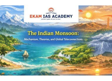
The Indian Monsoon: Mechanism and Phases
- The Monsoon is the heartbeat of the Indian economy.
- Onset: Typically starts in early June in Kerala. It is triggered by the shift of the Inter-Tropical Convergence Zone (ITCZ) to the north.
- Rain-bearing Systems:
- Arabian Sea Branch: Strikes the Western Ghats.
- Bay of Bengal Branch: Moves towards the Northeast and the Ganga Plains.
- Breaks in the Monsoon: Periods of dry spells during the rainy season caused by the movement of the Monsoon Trough.
- Retreating Monsoon: Occurs in October and November as the high-pressure system builds over North India.
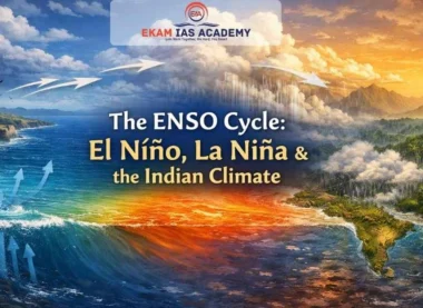
Contemporary Issues: Climate Change in India
Global warming is drastically altering India’s climatic patterns.
- Rising Temperatures: The mean annual surface temperature has increased significantly over the last 150 years.
- Sea Level Rise: Projected to rise by about 50 cm by the end of the 21st century, threatening coastal cities like Mumbai and Chennai.
- Extreme Events: Increased frequency of Tropical Cyclones, Flash Floods, and prolonged Droughts.
- Agricultural Impact: Shifting rainfall patterns affect crop cycles and food security.
UPSC Prelims: PYQs & Practice Questions
Previous Year Questions (PYQs)
1. Consider the following statements: (2017)
Q:
1. The Tropic of Cancer passes through the middle of India.
2. The northern part of India lies in the sub-tropical zone or the warm temperate zone.
3. The southern part of the country lies within the tropics.
Which of the statements given above is/are correct?
(a) 1 and 2 only
(b) 2 and 3 only
(c) 1 and 3 only
(d) 1, 2, and 3
Answer: (d)
Explanation: The Tropic of Cancer (23°30' N) divides India into two nearly equal halves. The area south of this line belongs to the tropical zone, while the area to the north lies in the sub-tropical or warm temperate zone. This dual location is one of the key reasons for the wide variation in India’s climate.
2. Which one of the following longitudes is the standard meridian for India? (NCERT/Prelims focus)
Q:
(a) 69°30' E
(b) 82°30' E
(c) 75°30' E
(d) 90°30' E
Answer: (b)
Explanation: 82°30' E has been selected as the standard meridian of India. It ensures that the entire country follows a uniform Indian Standard Time (IST), despite a nearly two-hour local time difference between the eastern and western extremities.
Practice Questions (Prelims)
Question 1
Q: Identify the climatic region based on the following characteristics:
1. It has a monsoon with a short dry season.
2. It is located on the West Coast of India, south of Goa.
3. According to Koeppen’s classification, it is denoted as Amw.
(a) Coromandel Coast
(b) Ganga Plains
(c) Malabar Coast
(d) Thar Desert
Answer: (c) Malabar Coast
Explanation: The Amw type climate, meaning monsoon climate with a short dry season, is found along the West Coast of India south of Goa. This region corresponds to the Malabar Coast.
Question 2
Q: The “As” type of climate (Monsoon with dry summer) is predominantly found in which region of India?
(a) Arunachal Pradesh
(b) Coromandel Coast of Tamil Nadu
(c) Western Rajasthan
(d) Chotanagpur Plateau
Answer: (b) Coromandel Coast of Tamil Nadu
Explanation: The As type climate is mainly associated with the Coromandel Coast of Tamil Nadu, where summers are relatively dry and most rainfall is received during the retreating monsoon season.
UPSC Mains – Previous Year & Practice Questions
Previous Year Questions (Mains)
The Himalayas as a Physical Barrier and Climatic Divide (2021)
Question: “The Himalayas are not only a physical barrier but also a climatic divide.” Elaborate. (2021)
Context: The Himalayas shield the subcontinent from the cold, dry winds of Central Asia and trap the Southwest Monsoon winds, forcing them to shed moisture within India.
Mechanism of the Indian Monsoon and Role of Jet Streams (2015)
Question: Describe the mechanism of the Indian Monsoon. How do the Jet Streams influence its onset? (2015)
Context: The Easterly Jet Stream steers tropical depressions into India, playing a significant role in the distribution of monsoon rainfall.
Factors Responsible for the Variation in the Climate of India
Question: Discuss the factors responsible for the variation in the climate of India.
Context: Variations are due to latitude, altitude, relief, and distance from the sea.
Koeppen’s Classification of Climatic Regions in India (2010 / Repeated)
Question: Explain the Koeppen's classification of climatic regions in India. (2010 / Repeated)
Context: Koeppen used temperature and precipitation to divide India into regions like Amw, Aw, BShw, etc.
Impact of Global Warming on India’s Climatic Patterns
Question: How is global warming affecting the climatic patterns in India?
Context: Impacts include rising sea levels, more flash floods, and shifting agricultural patterns.
Mains Practice Questions
Role of Western Disturbances in the Winter Climate of Northern India
Question: Analyze the role of the 'Western Disturbances' in the winter climate of Northern India.
Socio-Economic Implications of a Monsoon Break on Indian Agriculture
Question: Examine the socio-economic implications of a 'Monsoon Break' on Indian agriculture.
Maritime Influence as a Regulator of Temperatures in Peninsular India
Question: "The maritime influence is a key regulator of temperatures in Peninsular India." Critically analyze.


Understanding India’s Climate Through Physical Geography- FAQs
What is the 'Standard Meridian' of India?
The standard meridian is $82^{\circ}30′ E$. It is used to calculate Indian Standard Time (IST), which is 5 hours and 30 minutes ahead of Greenwich Mean Time (GMT).
How do Western Disturbances enter India?
They are shallow cyclonic depressions originating over the Mediterranean Sea that are brought into India by the Westerly Jet Stream during winter.
What is the projected impact of sea-level rise on India?
If global temperatures rise by $2^{\circ}C$, sea levels may rise by an average of 50 cm by the end of the 21st century. This would increase the frequency of annual flooding in coastal areas.
Why is the Coromandel Coast dry during the Southwest Monsoon?
It lies in the rain-shadow of the Western Ghats and runs parallel to the Bay of Bengal branch of the monsoon, receiving its main rainfall only during the Retreating Monsoon (October-November).
What are the major geological divisions of India?
India is divided into three geological regions: The Peninsular Block, The Himalayas and other Peninsular Mountains, and the Indo-Ganga-Brahmaputra Plain.