Table of Contents
ToggleWhat is a Tsunami?
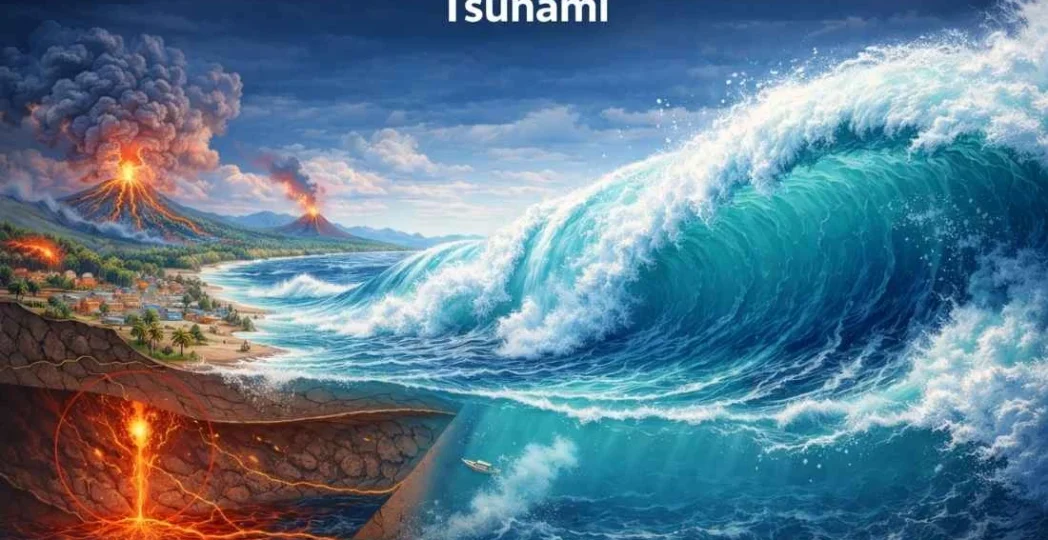
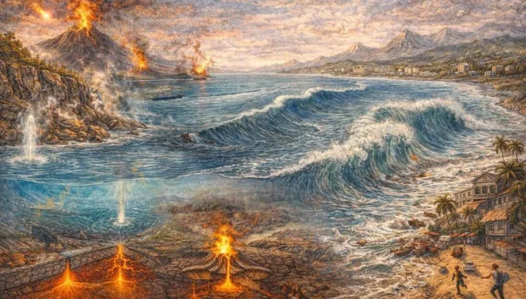
The term Tsunami is derived from the Japanese words ‘Tsu‘ (harbor) and ‘nami‘ (wave). Often mislabeled as “tidal waves,” they have nothing to do with tides. A tsunami is a series of extremely long wavelength and long period waves generated in a body of water by an impulsive disturbance that vertically displaces the water column.
- Velocity: In the deep ocean, tsunamis can travel at speeds exceeding 800 km/h (comparable to a jet plane).
- Wavelength: They can have wavelengths of hundreds of kilometers.
- Wave Height: In deep water, the wave height is often less than 1 meter, making them nearly undetectable to ships.
Causes of Tsunami Generation
A tsunami can be triggered by any event that causes a massive vertical displacement of the ocean floor.
Submarine Earthquakes
The most common cause. When a fault at a convergent plate boundary (subduction zone) snaps, it pushes the water upward.
- Vertical vs. Horizontal: Only earthquakes with vertical displacement generate significant tsunamis. Strike-slip faults (horizontal movement) rarely trigger them.
Landslides
Submarine landslides or coastal rockfalls can displace massive volumes of water.
- Example: The Lituya Bay mega-tsunami (1958) was caused by a massive rockfall.
Volcanic Eruptions
Violent explosive eruptions or the collapse of a volcanic caldera into the sea.
- Example: The Krakatoa eruption (1883) and the recent Hunga Tonga-Hunga Ha’apai (2022).
Meteorite Impacts
Though rare, a large bolide impact in the ocean would create a catastrophic displacement of water.
The Physics of Tsunami: Deep Water vs. Shallow Water
Understanding the transformation of a tsunami wave as it approaches the coast is a favorite UPSC Prelims topic.
Deep Ocean Phase
- Long Wavelength and Low Amplitude.
- Total energy is spread throughout the deep water column.
Shallowing Phase (Shoaling Effect)
As the wave enters shallow coastal waters:
- Velocity Decreases: The friction with the seafloor slows the wave down.
- Wavelength Shortens: The back of the wave catches up with the front.
- Amplitude Increases: The kinetic energy is converted into potential energy, causing the wave height to rise dramatically (often reaching 30 meters or more).
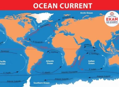
Global Distribution and Vulnerable Zones
- The Pacific Ring of Fire: The most active zone due to the prevalence of subduction zones and deep-sea trenches.
- The Mediterranean Sea: A significant risk zone due to complex tectonic activity.
- The Indian Ocean: Less frequent but highly destructive, as evidenced by the 2004 Indian Ocean Tsunami.
Tsunami in the Indian Context
India’s long coastline makes it vulnerable to tsunamis originating from two major sources:
- Andaman-Sumatra Subduction Zone: The primary threat to the East Coast (Bay of Bengal).
- Makran Subduction Zone: Located in the Arabian Sea, posing a threat to the West Coast (Gujarat and Maharashtra).
The 2004 Indian Ocean Tsunami
- Origin: A 9.1 magnitude earthquake off the coast of Sumatra.
- Impact: Devastated the Andaman and Nicobar Islands and the Tamil Nadu coast.
Tsunami Warning and Mitigation
For UPSC Mains, the focus shifts to the Technology and Policy of disaster management.
Indian Tsunami Early Warning System (ITEWS)
Established at INCOIS (Hyderabad), it utilizes:
- Bottom Pressure Recorders (BPR): Sensors on the seafloor to detect changes in water pressure.
- Tide Gauges: To monitor sea-level changes near the coast.
- DART Buoys: Deep-ocean Assessment and Reporting of Tsunamis.
Mitigation Strategies
- Bio-shields: Planting Mangroves and casuarina trees to absorb wave energy.
- Zonation: Restricting construction in high-risk coastal areas (CRZ regulations).
- Structural Measures: Building sea walls and tsunami-resilient shelters.
UPSC Prelims: PYQs & Practice Questions
Previous Year Questions (Prelims)
Question 1 (2011)
Q: The 2004 Tsunami made people realize that mangroves can serve as a reliable safety hedge against coastal calamities. How do mangroves function as a safety hedge?
(a) The mangrove swamps separate the human settlements from the sea by a wide zone in which people neither live nor venture out.
(b) The mangroves provide both food and medicines which people are in need of after any natural disaster.
(c) The mangrove trees do not get uprooted by storms and tides because of their extensive roots.
(d) The mangrove trees help in reducing the impact of high waves and tsunamis due to their dense canopies and intricate root systems.
Answer: (d)
Explanation: Mangroves act as bio-shields. Their complex prop roots and dense vegetation create friction that dissipates the kinetic energy of tsunami waves and storm surges, significantly reducing their destructive power before they reach inland settlements.
Question 2
Q: Which of the following statements is/are correct regarding Tsunamis?
1. Tsunamis are always caused by tides.
2. In deep water, tsunamis have very long wavelengths and low wave heights.
3. As a tsunami approaches the shore, its speed increases and its height decreases.
Select the correct code:
(a) 1 and 2 only
(b) 2 only
(c) 2 and 3 only
(d) 1, 2 and 3
Answer: (b)
Explanation: Statement 1 is incorrect because tsunamis are seismic sea waves, not tidal phenomena. Statement 2 is correct as tsunamis in deep water have long wavelengths and low amplitudes. Statement 3 is incorrect because as a tsunami approaches shallow coastal waters (Shoaling Effect), its speed decreases due to friction while its height increases significantly.
Practice Questions (Prelims)
Question 1
Q: Consider the following regarding the 'DART' system:
1. It stands for Deep-ocean Assessment and Reporting of Tsunamis.
2. It uses Bottom Pressure Recorders (BPR) to detect tsunamis.
3. INCOIS in Hyderabad is the nodal agency in India for tsunami alerts.
Which of the statements given above are correct?
(a) 1 and 2 only
(b) 2 and 3 only
(c) 1 and 3 only
(d) 1, 2, and 3
Answer: (d)
Explanation: DART stands for Deep-ocean Assessment and Reporting of Tsunamis and is a globally recognized early warning system. It uses Bottom Pressure Recorders (BPR) placed on the seafloor to detect changes in water pressure caused by tsunami waves. In India, INCOIS (Indian National Centre for Ocean Information Services), Hyderabad, functions as the nodal agency for tsunami alerts under the Ministry of Earth Sciences.
Question 2
Q: Which type of tectonic plate boundary is most likely to generate a catastrophic tsunami?
(a) Transform Fault Boundary
(b) Divergent Boundary
(c) Convergent Boundary (Subduction Zone)
(d) Intra-plate stress zones
Answer: (c)
Explanation: Subduction zones at convergent plate boundaries involve vertical displacement of the ocean floor when the overriding plate snaps upward. This sudden uplift displaces a massive volume of water, making such zones the primary source of catastrophic tsunamis.
UPSC Mains – Previous Year & Practice Questions
Mains Standard Questions
Tsunami Physics & Wave Dynamics
Question: "Tsunamis are not just giant waves but a series of waves with high energy." Explain the physics behind Tsunami generation and propagation. (150 words)
2004 Indian Ocean Tsunami Impact
Question: Discuss the impact of the 2004 Indian Ocean Tsunami on the coastal morphology of the Andaman and Nicobar Islands. (250 words)
Indian Tsunami Early Warning System (ITEWS)
Question: Evaluate the effectiveness of the 'Indian Tsunami Early Warning System' (ITEWS) established at INCOIS. (150 words)
Structural vs Non-Structural Mitigation
Question: Compare the role of structural measures (Seawalls) vs. non-structural measures (Mangrove plantations) in tsunami disaster mitigation. (250 words)
Hunga Tonga Eruption & Tsunami Insights
Question: How did the 2022 Hunga Tonga volcanic eruption provide new insights into tsunami generation by atmospheric pressure waves? (150 words)
Mains Practice Questions
Makran Subduction Zone & West Coast Vulnerability
Question: Analyze the vulnerability of India’s West Coast to tsunamis originating from the Makran Subduction Zone. (250 words)
Coastal Regulation Zone (CRZ) Norms
Question: "Coastal Regulation Zone (CRZ) norms are the first line of defense against oceanic disasters." Critically examine. (250 words)
Shoaling Effect & Deep-Sea Tsunami Dynamics
Question: Examine the 'Shoaling Effect' and explain why deep-sea vessels often remain unaware of a tsunami passing beneath them. (150 words)
Tsunamis: Plate Tectonics, Seismic Waves, Coastal Vulnerability & Disaster Management - FAQs
Is a Tsunami the same as a Tidal Wave?
No. Tides are caused by the gravitational pull of the moon and sun. Tsunamis are caused by geological disturbances (earthquakes, landslides). The term “tidal wave” is scientifically incorrect for tsunamis.
Why does the sea often retreat before a Tsunami hits?
This is called a Drawback. If the “trough” of the tsunami wave reaches the shore first, it sucks the water out to sea, exposing the seafloor, before the massive “crest” arrives.
Can we predict a Tsunami?
We cannot predict the earthquake that causes it. However, once an earthquake occurs, we can use Seismic sensors and Bottom Pressure Recorders to calculate the wave’s arrival time and height with great accuracy.
Which is the most Tsunami-prone region in the world?
The Pacific Ocean, specifically the Ring of Fire, due to the high density of subduction zones and trenches (like the Mariana and Japan trenches).
What should one do during a Tsunami warning?
Move to higher ground immediately. Do not stay to watch the wave. A tsunami is a series of waves, and the second or third wave is often larger and more dangerous than the first.